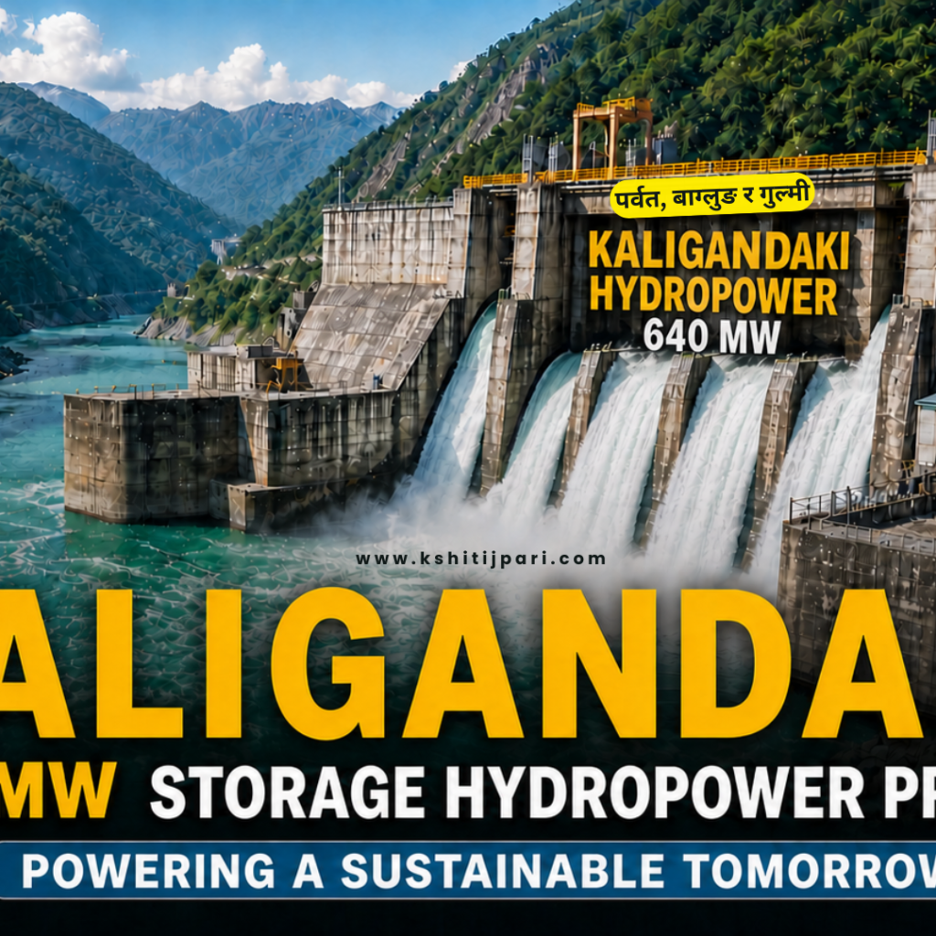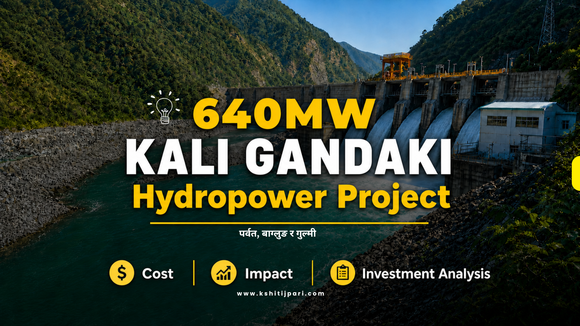

Nepal’s Big Upcoming Hydropower Project
The Kali Gandaki Reservoir Hydropower Project is one of the biggest upcoming hydropower projects in Nepal. Planned with an installed capacity of 640.40 megawatts (MW), this storage-type hydropower project will be developed in the Kali Gandaki Basin across Parbat, Baglung, and Gulmi districts.
A massive 244-meter-high dam is proposed to be constructed on the Kali Gandaki River. Once completed, a long reservoir will be formed, stretching more than 30 kilometers upstream. This will permanently transform the river valley — affecting forests, settlements, roads, bridges, temples, schools, and even existing small hydropower plants.
The project is currently in the final phase of feasibility study and Environmental Impact Assessment (EIA). It is considered a priority large hydropower project under Nepal’s national energy development strategy.
This article provides a complete 360-degree research-based explanation of the new Kali Gandaki hydro project — including cost, displacement, environmental impact, basin strategy, and investment scale.
Kali Gandaki 640 MW Reservoir Hydropower Project
Table of Contents
Why Nepal Is Prioritizing Large Storage Hydropower Projects?
Nepal’s electricity generation system is heavily dependent on run-of-river hydropower plants. These plants generate high electricity during the monsoon season but produce much less during winter when river flow decreases. As a result, Nepal faces seasonal electricity imbalance.
To solve this structural issue, the government has started prioritizing large storage hydropower projects like the Kali Gandaki Reservoir Project. Storage projects allow water to be stored during monsoon and released gradually during dry months. This ensures year-round electricity production.
Key Policy and Study Details:
- Study budget allocated:
NPR 1 करोड 13 लाख (NPR 11.3 million) - Fiscal year: 2083/84
- Project stage:
- Final Feasibility Study
- Environmental Impact Assessment (EIA)
- EIA prepared by:
- SMEC International Pty Ltd (Australia)
- Z Consultant Pvt. Ltd (Nepal)
The allocation of NPR 1 करोड 13 लाख shows that the project is officially recognized in national budget planning. According to the Department of Electricity Development, the study phase is in its final stage. Once completed, a Detailed Feasibility Study Report will be prepared before moving toward construction decision.
This confirms that the Kali Gandaki Reservoir Hydropower Project is no longer a conceptual idea but an advanced national infrastructure proposal.
Location and Dam Structure: Where Will the New Kali Gandaki Hydro Project Be Built?
The proposed dam site lies approximately 10 kilometers upstream from the Setibeni area. It is located on the boundary between:
- Urleni (Kaligandaki Rural Municipality, Gulmi)
- Barrachaur (Bihadi Rural Municipality–2, Parbat)
This location makes it geographically significant because it connects multiple districts in western Nepal.
Dam and Capacity Details:
- Dam height: 244 meters
- Installed capacity: 640.40 MW
- Initial survey capacity: 844 MW (later reduced)
The reduction from 844 MW to 640.40 MW occurred after feasibility studies. This adjustment reduced project cost and minimized displacement numbers.
A 244-meter-high dam is considered a very large structure in Nepal’s hydropower sector. Once built, it will be among the tallest hydropower dams in the country.
The size of the dam directly determines the reservoir volume, electricity production capacity, and environmental impact scale.
Reservoir Coverage and Geographic Transformation
When the dam is constructed, water will accumulate and form a long reservoir. This reservoir will extend significantly upstream, affecting multiple municipalities.
Reservoir Length:
- 36 kilometers toward Baglung
- 21.5 kilometers toward Kushma
This means more than 50 kilometers of river valley will be transformed into a water body.
The reservoir will submerge agricultural land, private property, forests, community forests, schools, temples, and road networks.
This level of geographic transformation makes it one of the largest hydropower landscape changes proposed in western Nepal.
Engineering Design and Power Generation System
The Kali Gandaki Reservoir Hydropower Project is designed as a high-head storage hydropower plant. The engineering includes surface dam construction and underground powerhouse systems.
Main Engineering Components:
- 2 tunnels:
- 1,110 meters
- 1,240 meters
- 4 steel penstocks
- Semi-underground powerhouse
- 4 Francis turbines
- Powerhouse located at:
- Barracheur, Bihadi–2, Parbat
Water stored in the reservoir will flow through tunnels and steel penstocks. It will rotate the Francis turbines, generating electricity. After power generation, water will return to the Kali Gandaki River.
This structure allows controlled electricity production even when river flow is low during winter months.
Electricity Generation Strategy of Kali Gandaki Reservoir Project
One of the main reasons this project is considered a big hydropower project of Nepal is its storage-based design. Unlike run-of-river projects that depend fully on daily river flow, this reservoir project will store water during monsoon and release it strategically throughout the year.
This seasonal water regulation system is important because Nepal faces winter electricity shortages. During winter, river flow decreases and many hydropower plants reduce production. The Kali Gandaki Reservoir Hydropower Project is designed to solve that problem.
Electricity Operation Plan:
- During peak monsoon (3 months):
- Reservoir will be kept at full reserve.
- Turbines will operate 24 hours daily.
- During other months:
- Turbines will operate 7 to 18 hours daily at full capacity.
- During dry season:
- Turbines will operate at least 6 hours daily.
This flexible operation model makes the project important for year-round electricity stability. It is one of the reasons the new Kali Gandaki hydro project is seen as strategically important for Nepal’s long-term energy security.
Transmission System and Grid Connection
Generating electricity is only one part of the hydropower system. The electricity must be transmitted safely to the national grid so it can be distributed across Nepal.
The Kali Gandaki Reservoir Hydropower Project includes a high-voltage transmission connection that links it to Nepal’s central grid system.
Transmission Details:
- Transmission line:
- 220 kV high-voltage line
- Grid connection point:
- Bagnaskali Substation, Palpa district
Once connected to the Bagnaskali substation, electricity will be integrated into the national grid. This ensures that the power generated in Parbat–Baglung–Gulmi region benefits industries, cities, and households across Nepal.
This integration strengthens the national transmission network and reduces regional power imbalance.
Total Project Cost and Financial Structure
The Kali Gandaki Reservoir Hydropower Project is one of the most expensive upcoming hydropower projects in Nepal. The financial scale of this project reflects its large dam structure, long reservoir stretch, and high infrastructure impact.
Estimated Total Cost:
- NPR 2 खर्ब 25 अर्ब (NPR 225 billion)
Before the dam size was reduced, the estimated cost was:
- NPR 3 खर्ब 45 अर्ब (NPR 345 billion)
Cost Per Megawatt:
- NPR 35 करोड 14 लाख प्रति मेगावाट
By reducing the installed capacity from 844 MW to 640.40 MW, the estimated total cost was lowered by approximately:
- NPR 1 खर्ब 20 अर्ब (NPR 120 billion)
Even after resizing, this remains one of the biggest hydropower investments planned in Nepal. The high capital cost shows that storage hydropower requires much larger investment than run-of-river projects.
Construction Materials and Resource Requirement
Large storage dams require massive quantities of construction materials. The Kali Gandaki Reservoir Project will consume significant amounts of cement and fuel during its six-year construction period.
Estimated Material Consumption:
- Cement:
- 33 लाख 42 हजार मेट्रिक टन
- Diesel:
- 81 लाख 66 हजार लिटर
- Petrol:
- 70 लाख लिटर
Such high material requirements indicate extensive tunnel excavation, dam concreting, powerhouse construction, and road relocation works.
This scale of construction will require strong logistics planning and continuous supply management in the hilly terrain of western Nepal.
Environmental and Compensation Costs
The project cost does not include only dam construction. A large portion of the budget will be spent on environmental mitigation, land compensation, and relocation.
Impact Management Costs:
- Environmental & land compensation:
- NPR 39 अर्ब 39 करोड (NPR 39.39 billion)
- Structure relocation cost:
- NPR 20 अर्ब 99 करोड (NPR 20.99 billion)
- Irrigation management plan:
- NPR 3 करोड 28 लाख
- Tourism development plan:
- NPR 42 करोड 98 लाख
In total, nearly NPR 60 अर्ब (around NPR 60 billion) will be spent on managing environmental and social impacts.
This highlights an important lesson for students and researchers: large hydropower projects involve very high indirect costs beyond engineering construction.
Land Requirement and Forest Clearance
The Kali Gandaki Reservoir will submerge a large area of land. The Environmental Impact Assessment provides detailed land requirement figures.
Land Requirement:
- Total land required:
- 2,000 hectares
- Forest land:
- 1,101 hectares
- Private land submerged:
- 813.55 hectares
Trees to Be Removed:
- 64,287 large trees
- 241,000 small plants
This level of forest clearance represents a significant environmental transformation. Community forests and cultivated private lands will be permanently submerged.
From an environmental research perspective, this project becomes a case study of trade-offs between energy development and ecological preservation.
Displacement and Social Impact of Kali Gandaki Reservoir Project
One of the most serious aspects of the Kali Gandaki Reservoir Hydropower Project is the displacement of local communities. When a large storage dam is constructed, water accumulates and permanently submerges settlements along the river valley. In this case, several villages and wards in Parbat, Baglung, and Gulmi districts will be directly affected.
The Environmental Impact Assessment (EIA) clearly identifies the number of households and public structures that will go underwater. Displacement does not only mean loss of houses; it also includes loss of land, social networks, cultural sites, and livelihoods.
Social Impact Data (According to EIA):
- Households displaced:
- 436 households
- Total population affected:
- 2,106 people
- Public structures submerged:
- 55 public structures
- Schools affected:
- 8 schools
The displacement will mainly affect families living along the Kali Gandaki riverbanks in Parbat, Baglung, and Gulmi. These families will need compensation and relocation support. From a research and policy perspective, this project becomes an important case study in rural resettlement planning and compensation management.
The social cost of hydropower projects often extends beyond numbers. Long-term livelihood restoration, education continuity, and cultural preservation will become major implementation challenges.
District-Wise and Ward-Wise Impact Breakdown
The impact of the Kali Gandaki Reservoir Hydropower Project is geographically wide. The reservoir will stretch across multiple municipalities and rural municipalities. The EIA report separates directly affected and indirectly affected wards.
This district-wise breakdown helps us understand the geographical spread of impact.
✅ Parbat District
Affected Areas:
- Jaljala Rural Municipality – Ward 8 (Khaniyaghat)
- Kushma Municipality (most wards affected)
- Phalebas Municipality – Wards 4, 5, 6, 7, 10, 11
- Bihadi Rural Municipality – Wards 1, 2, 3, 6
Additional Details:
- In Bihadi Rural Municipality alone:
- 132 houses affected
- Shukleshwar Shiva Temple (Khaniyaghat) affected
- 1.95 km of Maldhunga–Beni road submerged
✅ Baglung District
Two municipalities and 11 wards will be affected.
- Baglung Municipality – Wards 1, 4, 10, 12, 13, 14
- 20 houses affected
- Jaimini Municipality – Wards 1, 5, 6, 7, 8
✅ Gulmi District
- Kaligandaki Rural Municipality – Wards 2, 3, 4, 6
The EIA identifies both direct and indirect impacts in these wards.
This wide geographical distribution shows that the new Kali Gandaki hydro project is not a small local dam but a basin-level transformation affecting multiple districts.
Religious and Cultural Structures Affected
Large reservoirs often affect temples, heritage sites, and culturally important places located near rivers. The Kali Gandaki river valley includes several temples and religious sites that will be submerged or impacted.
This is particularly sensitive in Nepal, where rivers hold religious and cultural value.
Temples and Religious Sites Affected:
- Shaligram Laxmi Narayan Temple (Maldhunga, Kushma–1)
- Muktinarayan Temple and Ashram
- Ganesh Temple
- Bhagwati Temple (Kushma–4)
- Shiva Temple
- Radha Krishna Temple
- Shukleshwar Shiva Temple (Khaniyaghat)
The submergence of religious structures adds cultural and emotional dimensions to the project impact. From a cultural heritage perspective, relocation or preservation measures will be required.
This makes the Kali Gandaki Reservoir Project not only an energy project but also a cultural impact case study.
Roads and Transport Infrastructure to Be Submerged
Hydropower reservoirs often affect road networks that run parallel to rivers. In this case, several major highways and regional roads will be submerged partially.
These roads are important for connectivity between districts.
Roads Affected:
- 4.91 km of Pushpalal Highway
- 3.50 km of Huwas–Bihadi Road
- 28.34 km of Kali Gandaki Corridor
- 1.95 km of Maldhunga–Beni Road
- Part of Mid-Hill Highway
Bridges Affected:
- Maldhunga concrete bridge
- Bridge connecting Phalebas and Baglung
These roads and bridges connect local markets, schools, hospitals, and administrative centers. Their relocation will increase total indirect project cost.
From an infrastructure planning perspective, this project requires parallel reconstruction investment.
Small Hydropower Projects That Will Be Shut Down
The Kali Gandaki Reservoir Project will also affect smaller hydropower plants located upstream. When the reservoir forms, these smaller projects will be submerged.
This indicates structural consolidation within the Kali Gandaki basin hydropower system.
Projects to Be Submerged:
- Lower Modi Hydropower Project
- 1.5 MW Theule Khola Hydropower Project
- 0.5 MW Lower Theule Khola (under construction)
These projects will require financial compensation.
This shows a shift from multiple small run-of-river projects toward one large storage hydropower project. From an energy planning perspective, it reflects centralization of generation capacity.
Employment and Construction Period
Large infrastructure projects generate temporary employment during construction. The Kali Gandaki Reservoir Project is expected to create thousands of jobs.
Employment Details:
- Construction duration:
- 6 years
- Estimated employment:
- 12,440 people
During construction, labor demand will increase in Parbat, Baglung, and Gulmi districts. Local businesses may benefit from economic activity.
However, these jobs are mostly temporary and linked to construction phase only.
Irrigation and Tourism Potential
The project is not only focused on electricity generation. According to the plan, it also includes irrigation and tourism development components.
Irrigation Target:
- 344 hectares of agricultural land
Tourism Development Possibilities:
- Boating
- Fishing tourism
- Walking trails along reservoir
- Lakeside hotels and restaurants
- Small cargo boats and cruise services
The reservoir length (36 km toward Baglung and 21.5 km toward Kushma) creates potential for water-based tourism.
From a regional development perspective, this could create long-term economic opportunities if properly managed.
Kali Gandaki Basin Context
The Kali Gandaki River originates from the Nhubine Himal glacier in Mustang, near the Nepal–Tibet border. The total length of the river is about 630 kilometers.
It flows through:
- Mustang
- Myagdi
- Baglung
- Parbat
- Syangja
- Palpa
At Devghat, it meets the Trishuli River and becomes the Narayani River.
According to JICA’s 1983 master plan:
- Gandaki Basin hydropower potential:
21,000 MW
Other projects in the Kali Gandaki basin include:
- 144 MW Kali Gandaki A (operational)
- 477 MW Kali Gandaki 2 (feasibility stage)
- 400 MW project in Mustang (licensed)
- 66.3 MW IME project (Myagdi)
- 58 MW Tiplyang project
- 38 MW Maulakalika project
- 65 MW Upper Kali Gandaki (survey license issued)
This shows that the Kali Gandaki basin is one of Nepal’s most strategically important hydropower corridors.
Conclusion
The Kali Gandaki Reservoir Hydropower Project (640.40 MW) is:
- A NPR 2 खर्ब 25 अर्ब (NPR 225 billion) mega infrastructure proposal
- A 244-meter-high storage dam
- A project displacing 436 households
- A project requiring 2,000 hectares of land
- A project affecting forests, roads, bridges, schools, and temples
- One of the biggest upcoming hydropower projects in Nepal
It represents Nepal’s shift toward large storage hydropower development in the Kali Gandaki basin.
What is the capacity of the Kali Gandaki Reservoir Hydropower Project?
The project has an installed capacity of 640.40 MW.
How much will the Kali Gandaki 640 MW project cost?
The estimated cost is NPR 2 खर्ब 25 अर्ब (NPR 225 billion).
How many households will be displaced?
A total of 436 households (2,106 people) will be displaced.
Where is the Kali Gandaki Reservoir Project located?
It is located across Parbat, Baglung, and Gulmi districts in western Nepal.
Will small hydropower plants shut down?
Yes. Lower Modi, 1.5 MW Theule Khola, and 0.5 MW Lower Theule Khola projects will be submerged.